Area G

Surveyed out in the exact center of the high tell , where surface survey and aerial photography indicated the junction of the two major thoroughfares of the town.
Excavation
1986 - 1994 by the University of California, Berkeley (dir. Andrew Stewart). 1996 - 1999 by Cornell University (dir. Jeffrey Zorn). 2000 by the University of South Africa (dir. Willem Boshoff, supervised by Elisabeth Bloch-Smith.
Stratigraphic sequence
Roman Period
 Local phases 1-2: Immediately below the surface, excavation hit an extensive stone pavement of a wide
open piazza dating to the Roman period,
which marks the intersection of the cardo leading from here to
area D2 and the decumanus,
which was traced from here to area B.
Towards the
west, it is aligned with the central entrance to the temenos in
area F. Nothing has remained of the
superstructure of buildings around this piazza, but massive cement foundations
indicate large structures (perhaps colonnades) around it.
Hellenistic and Persian Periods
Local phases 3-4:
The open, possibly public nature of this part of town is evident in the
Hellenistic and
Persian periods too. The center of the area
seems to have been an open space throughout these eras and to the east
and south of it were what appear to be residential insulae.
To the west and north, on the other hand, were found massive ashlar
foundations of the facades of large public structures.
Most of the buildings themselves, though, are outside the excavated
area. In the Persian period the open area was riddled with pits,
some containing refuse of purple dye industry.
Late Iron Age 2

Local phases 5-6a: Phase 5 is so riddled by Persian pits as to defy the reconstruction of its plan. In phase 6a the character of the area is residential, house construction typically being of combination of fieldstones for some walls and mudbrick (usually, but not always, on stone socles) in others.
Iron Age 1|2
Local phases 6b-7: The Iron Age 1|2 transition in area G is marked by nothing more than the gradual raising of floor levels within the same houses (6b to 6a). Phase 6b too is merely a rebuild of phase 7, most phase 6 walls following the lines of their phase 7 predecessors. In one of the rooms a skeleton of a woman was found, apparently trapped under a wall collapse.
Early Iron 1
 Local phases 9-10; local phase 8 is a transitional phase.
Architecturally, there is a gradual evolution from phase 10 to
phase 6. The basic division walls are reused (or rebuilt on
the same lines), while partitions are shifted.
Functionally, phases 9 - 10 in G represent small-scale industry.
The phase 9 house was devoted to food production and storage
(apparently at more than household consumption level). The main
courtyard had a large installation with a working surface and several
bins - perhaps for the grinding of flour or the kneading of dough.
Another room was littered with the skeletons of small fish, and
may have served for preparation or curing of those, or for
storage or maintenance of fishing gear. A third room had a
plaster floor with basins - perhaps for grape-treading, and fourth
room was found full of storage jars, including many imported from Egypt.
 This house was destroyed by a terrific fire at the end of phase 9, which preserved
its contents and serves as a benchmark for the 'Ir1a' horizon at Dor.
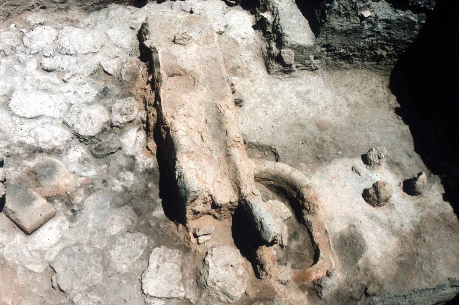
The phase 10 structure was a smithy - apparently engaged in
scrap-copper recasting. Most of the finds, including a furnace, a
bellows-pot, tuyeres, crucibles and many small fire pits,
are related to this industry.
Late Bronze Age and the LB|IrA Transition
Local phases 11-12: No architecture was found, and the deposits consist mainly of burnt debris - probably industrial wastes.
